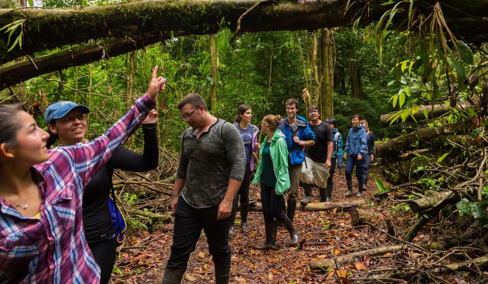
Food and water security for all North Americans depends on the Great Lakes, and environmental scientists play a critical role in their management and sustainability. Here, at the heart of the Great Lakes, we provide our students with comprehensive and balanced training in the physical and living environment – atmosphere, hydrosphere, geosphere, biosphere. Through a systems-based approach, you will learn and apply a diversity of scientific tools and skills to understand the structure, function and health of this globally important freshwater resource. Our students have the skills employers are looking for!
Course Requirements: Advanced Functions/MHF4U, Chemistry/SCH4U, Biology/SBI4U, English/ENG4U
Recommended: Calculus & Vectors/MCV4U, Physics/SPH4U
Minimum Average: 70% (70% average in all required science and math courses)
Mean Average: 88%
Course Requirements: Grade 12 Advanced Functions, Grade 12 Chemistry, Grade 12 Biology. Grade 12 English.
Recommended: Grade 12 Calculus & Vectors, Grade 12 Physics
Minimum Average: 70% (70% average in all science and math courses)
Mean Average: 88%
* Course with lab
1 Students who have credit for MCV4U Calculus and Vectors may register in MATH 1720; those who do not have MCV4U should register in MATH 1760.
2 Students interested in the new GIS certificate should take ESCI 1141, which is a requirement for the certificate.
3 BIOL 1101 is recommended.
Examination of the principles governing living systems, with emphasis on the molecular and cellular basis of life, molecular genetics, energetics, differentiation, and development. (Grade 12 “U” Biology or equivalent, or BIOM-1003 and BIOL-1013 are strongly recommended) (3 lecture, 3 laboratory hours a week.)
Introductory concepts in chemistry, including reactions of atoms, ions, and molecules, solution stoichiometry, thermochemistry, electronic structure of atoms, basic chemical bonding and molecular geometry, periodic properties of the elements, and the theory of gases. (Prerequisite: Grade 12“U” Chemistry or equivalent,or consent of the instructor.) (3 lecture, 3 laboratory/tutorial hours a week.)
This course will cover a review of functions, trigonometric functions and identities, transcendental functions, inverse trigonometric functions, introduction to limits, continuity, derivatives and applications, mean value theorem, indeterminate forms and l’Hôpital’s rule, antiderivatives and an introduction to definite integrals. This course is for students who have taken Ontario Grade 12 Advanced Functions (MHF4U), but have not taken Ontario Grade 12 Calculus and Vectors (MCV4U). Students who have credit for MCV4U should take MATH-1720. The course is equivalent to MATH-1720 for all prerequisite purposes. (Prerequisite: Ontario Grade 12Advanced Functions (MHF4U).) (Antirequisite: MATH-1720.) (4 lecture hours, 1 tutorial hour per week.)
This course will cover trigonometric functions and identities, inverse trigonometric functions, limits and continuity, derivatives and applications, mean value theorem, indeterminate forms and l’Hôpital’s rule, antiderivatives and an introduction to definite integrals. This course is for students who have taken both Ontario Grade 12 Advanced Functions (MHF4U) and Ontario Grade 12 Calculus and Vectors (MCV4U). Students who do not have credit for MCV4U should take MATH-1760. (Prerequisites: Ontario Grade 12 Advanced Functions (MHF4U) and Ontario Grade 12 Calculus and Vectors (MCV4U) or MATH-1780.) (Antirequisite: MATH-1760.) (3 lecture hours, 1 tutorial hour per week.)
An introduction to the components of Earth’s environment (geosphere, biosphere, atmosphere, and hydrosphere) and the principles and processes defining and influencing environmental systems (energy and matter cycles). Human interactions with, and influences on, the environment will be examined (resource and land use, waste and pollution, development, conservation and sustainability). This course is designed for Science majors. (3 lecture hours a week, optional field trips).
This introductory course focuses on the key elements of map design, representation of spatial data and map interpretation. Topics will include projections, datums and coordinate reference systems, scale properties and unit calculations, map symbology and map accuracy. Different mapping approaches, such as choropleth, isoline and dot mapping will be utilized throughout the course. Web-based mapping will be introduced. Maps will be designed, generated, and interpreted using paper-based media and modern cartographic software in a laboratory setting. (2 lecture, 2 laboratory hours a week.)